
Announcements
Announcements
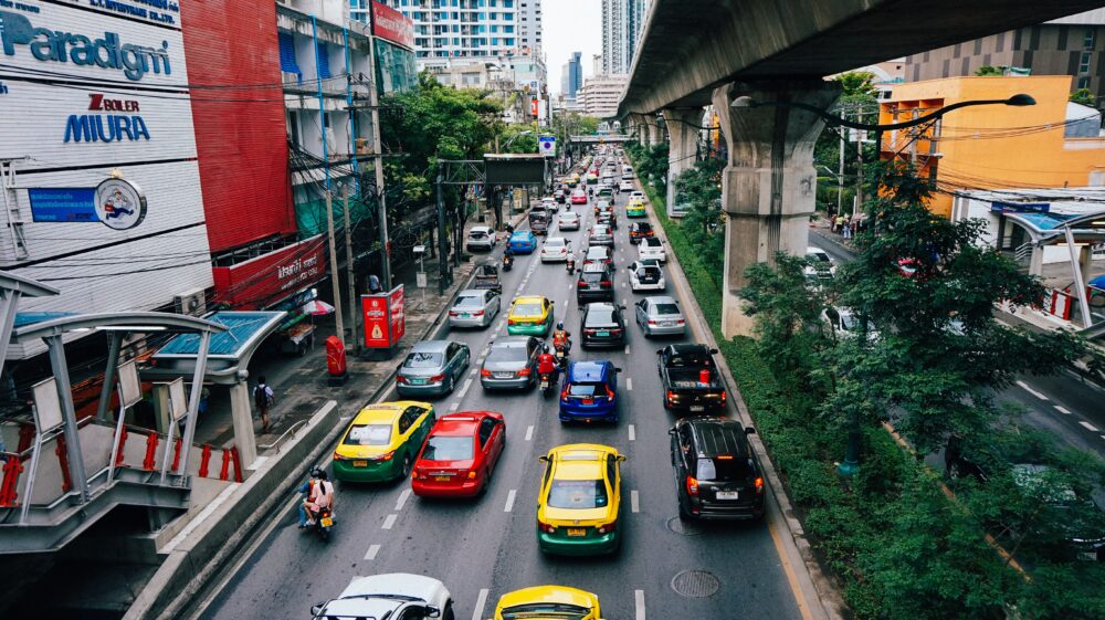
A recent study of peri-urban areas and climate risks in Thailand led by SEI’s senior researcher Bernadette Resurrección argues that comprehensive, locally based urban planning is crucial to long-term climate adaptation.

October 2011 flooding in the Bangkok region. Photo: Petty Officer 1st Class Jennifer Villalovos / Wikipedia Commons.
Peri-urban areas are peripheral to cities not only geographically: they also inhabit the fringes of urban planning and services with unclear or non-existent policies and constrained budgets. Peri-urban areas are characterized by ad-hoc expansion and poor urban services, and have more than their fair share of environmental problems from air and water pollution to traffic congestion, flooding, and the loss of agricultural areas or wetlands to expanding cities.
In Southeast Asia peri-urban populations are increasing. By 2020, of the projected 4.2 billion urban population of the world, 2.2 billion will be living in Asia, many in peri-urban areas, according to UN Habitat’s The State of Asian Cities 2010–11. The IDRC study – Adapting to Climate Change in Peri-urban Southeast Asia – found that climate risks are exacerbated in peri-urban areas especially where low-income, informal and poor households of in-migrants live in poorly planned zones with under-developed water and sanitation infrastructure.
Peri-urban areas are often neglected in urban planning. Our study informs local planning so that it can be more gender-responsive and inclusive to improve climate change adaptation.
The project study area was the Krachang community in Pathum Thani province in Thailand, a peri-urban area of the Bangkok Metropolitan Region (BMR). The community is sited in the low-lying plain on the western side of the Chao Phraya River, the vulnerability of its location making it prone to floods in every rainy season.
Pathum Thani’s population has risen rapidly in the last 25 years. The increased competition for water use and mixed land-use including housing projects and factories results in water canals being used as wastewater sinks with ineffective or non-existent wastewater treatment facilities.
There are two major water stress factors in Pathum Thani – the impacts of the 2011 extreme flood event and ongoing water pollution. Our study showed that the severity of water stress experienced by households was connected to both being in a vulnerable location and being marginalized politically and economically. The study also shows that men and women adapt differently to climate-related water stress in the peri-urban areas.
Thailand’s devastating floods in 2011 killed more than 800 people, caused damage worth 6.1 billion USD, and inundated entire provinces for months. The floods revealed the extent of neglect of Bangkok’s peri-urban areas.
The central government’s flood management plan was to divert floodwater to the peri-urban zones of Pathum Thani to prioritize protection of the capital. Consequently, the floodwaters entering peri-urban Bangkok did not flow naturally through normal waterways to discharge directly to the sea but instead entered as destructive floods that remained stagnant for a long period. Pathum Thani and other peri-urban areas around Bangkok suffered inundation up to between two and three metres for up to four months.
With no systematic flood management plan and unreliable and updated flood data, the local administration of Bangkok City, municipalities, and some large-scale private firms, mainly built flood barriers to protect their own individual areas. This made it difficult to manage the floods in a comprehensive way. And local governments often implemented flood control projects without the participation of their residents.
In the Krachang community, elevated streets were built by the Subdistrict Administrative Organization (SAO) to serve as flood protection barriers. But during the annual floods these made the water levels higher than usual, resulting in severe damage to poor households living along the river outside the flood protection zone. The residents had not been informed of these potential effects during the planning or construction process.
The study identified three inter-related issues for peri-urban planning. First, a rapidly rising population poses difficulties for providing basic services, including water supply and wastewater management. Second, land conversion that juxtaposes urban and rural land and water uses leads to increasing pollution, as well as conversion of waterways and natural wetlands. Third, where jurisdictions are unclear or overlap combined with a lack of knowhow leads to ineffective management of water and wastewater.
The study recommends that comprehensive planning is crucial for long-term climate adaptation in the peri-urban areas. Better planning can also prevent local authorities and private firms taking flood protection measures on their own that end up worsening overall flood management efforts. Both climate and peri-urban areas are changing, so water resources and disaster management under these variable conditions need to be able to adapt to changes.
As well as better planning, there is a need to strictly enforce land-use plans when they are in place. Planners need to balance the growth of peri-urban areas with adequate infrastructure at the same time as paying attention to ecosystem services, particularly waterways and conservation of wetlands that support flood management.
The study was part of the project Adapting to Climate Change in Peri-urban Southeast Asia, and was supported by the International Development Research Centre (IDRC).
Media coverage / Environmental issues in the upcoming Thai elections.
Project / 15-minute cities propose urban redesigns aiming to cut carbon emissions and improve quality of life.
Feature / Achieving more equitable disaster research requires re-politicized forms of knowledge co-production.
Design and development by Soapbox.